In Austria, government agencies are actively using satellite imagery, which helps in the distribution of funds to support farmers.
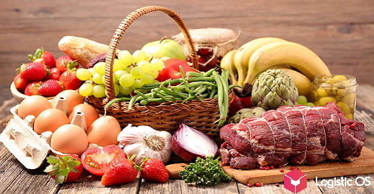
In EU countries, farmers can expect to receive a significant amount of money every year in the form of subsidies.
Basically, we are talking about the means of the Common Agricultural Policy (CAP).
But in order to receive them, the farm must meet a large list of conditions. For example, to comply with environmental requirements, including having the so-called «blooming stripes» or permanent pastures.
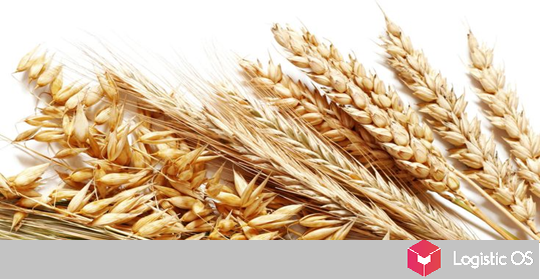
In addition, CAP support is provided per hectare of land used.
We are talking about the areas that are currently actually sown with one or another agricultural crop.
For example, a field of wheat allows you to qualify for a subsidy commensurate with its area.
If a piece of land is overgrown with weeds, used as a park of agricultural machinery or built up with any structures, then the opportunity to receive a subsidy for it disappears.
At the same time, it is obvious that a “manual” check of each hectare with a site visit and a visual inspection requires excessive time and human resources.
Therefore, in Austria, for example, this problem is solved in a different way — using satellite images.
What tasks do satellite images solve?
As for the images themselves, they are already available, they are provided by the European Space Agency.
The innovation lies in the fact that a special program has been created that can automatically view such images and answer many questions:
— How each hectare of land is used: whether it is sown with useful crops or not.
— If sowed, then which ones.
— Whether the necessary protective and flowering stripes are in place, and whether or not a number of other subsidy requirements are met.
Working under the new rules saves a lot of time.
If the program considers that all the requirements set out in the application are generally met, this is the reason for paying the subsidy to the farmer.
If questions arise, they can be addressed to the applicant, in extreme cases, go to his site.
However, now it is planned to take additional measures to further reduce the number of trips.
For example, to oblige each farmer, when creating an application, to take photos of their fields, tying them to time and geolocation.
This will further reduce the number of points that should be clarified before making a decision on the payment of subsidies.